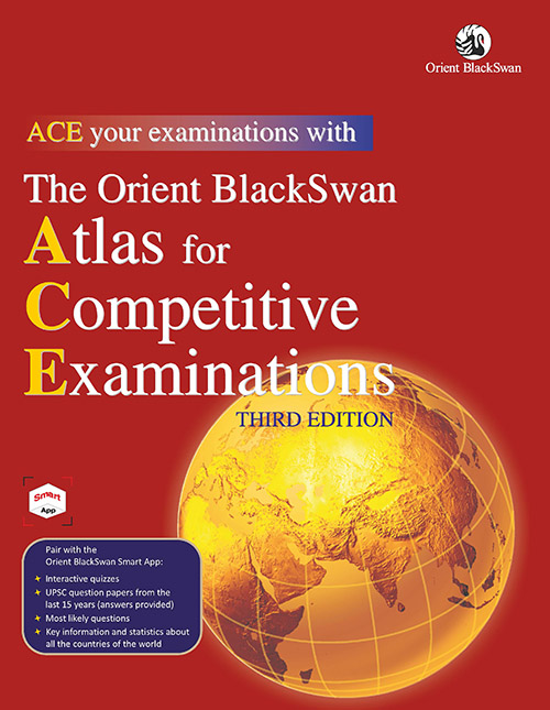
This atlas has been specially designed for students preparing for competitive examinations conducted by the Union Public Services Commission (UPSC) and other examining bodies. It includes:
- Detailed maps of all the states and union territories of India along with three-dimensional histograms and pie charts providing the latest statistical data on the country.
- Special India-specific maps covering natural disasters, flood- and drought-prone areas, and paths of cyclonic storms, sites rich in cultural and natural heritage, major faults and thrusts, wetlands, air pollution, soil degradation, groundwater and river water quality, inland waterways, access to water, fisheries and livestock population, endangered species, inter-basin water transfer links, milk production, health and religions, poverty and per capita income, population, population density, literacy and sex ratio, universities/institutions, and space research centres (with a list of satellites launched since 1975).
- A handy list of nations of the world along with key statistics on area, population, literacy rates, etc.
- Special world maps covering geographic extremes and heat zones, the age of the Earth’s crust, tectonics, tsunamis, and earthquakes, the SAARC nations, historical civilisations and empires, drainage basins, forest cover, agricultural regions, industrial regions, cultural realms, language, human development, and urbanisation.
- Two fold-out topographical maps.
- One pull-out map of India and the world.
The Orient BlackSwan Smart App that can be downloaded using the QR code on the inside cover provides digital access to interactive quizzes, questions papers from the past 15 years, compilations of most likely questions, and key information and statistics about all the countries of the world.